Free River Zone Suederelbe: Unterschied zwischen den Versionen
Aus yamuna-elbe.de
Till (Diskussion | Beiträge) (→Proposal 1 for the execution of the "Free River Zone") |
Till (Diskussion | Beiträge) (→Proposal 1 for the execution of the "Free River Zone") |
||
| Zeile 7: | Zeile 7: | ||
| − | [[File:72 1000 b DSC00299.jpg|72 1000 b DSC00299.jpg|link=]] | + | [[File:72 1000 b DSC00299.jpg|72 1000 b DSC00299.jpg|link=]]<br> |
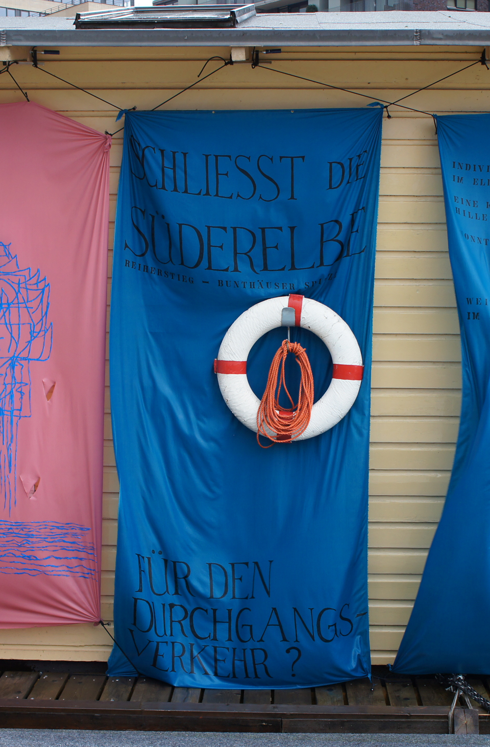
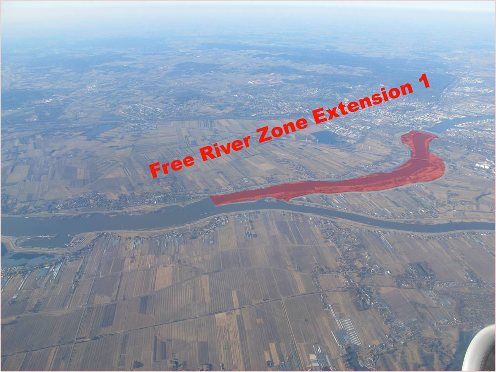
| + | What would happen, if one would route the traffic of the inland navigation exclusively through the Norderelbe<br/>and leave the Süderelbe between Bunthäuser Spitze and Reiherstieg completely to the river’s own dynamics?<br> | ||
| + | [[File:72 1000 Extension 1.jpg|72 1000 Extension 1.jpg|link=]]<br> | ||
| + | Weitere Informationen auf der Webseite [http://www.freieflusszone.org www.freieflusszone.org] | ||
| − | |||
| − | |||
| − | |||
| − | |||
| − | |||
<br/>[[Free River Zone Suederelbe#top seitenanfang|Top]] | <br/>[[Free River Zone Suederelbe#top seitenanfang|Top]] | ||
Version vom 2. Oktober 2012, 07:55 Uhr
Proposal 1 for the execution of the "Free River Zone"
Closure of the Süderelbe for commercial traffic!

What would happen, if one would route the traffic of the inland navigation exclusively through the Norderelbe
and leave the Süderelbe between Bunthäuser Spitze and Reiherstieg completely to the river’s own dynamics?

Weitere Informationen auf der Webseite www.freieflusszone.org